When I stand next to The Times Atlas of the World which has recently garnered so much controversy, sitting in its lovely hardcover slipcase to protect the lovely hardcover beauty that is the atlas itself, it comes up to just below my knee. It’s really big. It deserves to be though, because inside is a series of maps, pages of information and a very comprehensive Index of places.
Here’s my review of The Times Atlas of the World.
The Good
This atlas is simply beautiful. You can’t deny it, and no amount of chattering about the information on the Greenland map is going to change my opinion of this. (Authors note – I am not going to be addressing the Greenland issue in this review. It’s been dealt with plenty enough here and elsewhere.)
There are 125 ‘plates’, names for a section of map that is easily pictured on the very inside cover. These are beautifully crafted depictions – using varying colours to convey height above and below sea level – of everywhere on planet Earth.
There are 223 pages for the Index, listing everything from ‘1st Cataract rapids Egypt’ to ‘Ziyaret Dagi’ and ‘Zyyi’.
And on top of all of those things that you would expect from an atlas of the world, you are also going to be looking at 43 informational pages covering topics ranging from ‘Oceans, Seas, Lakes and Rivers’ to ‘The Stars and Planets’. These are beautifully laid out, easy to read and fascinating pages that really help bring geographical, cosmological and geopolitical topics to life. There are also several pages dedicated to explaining the changes to mapping over the time since the last Times Atlas of the World was released.
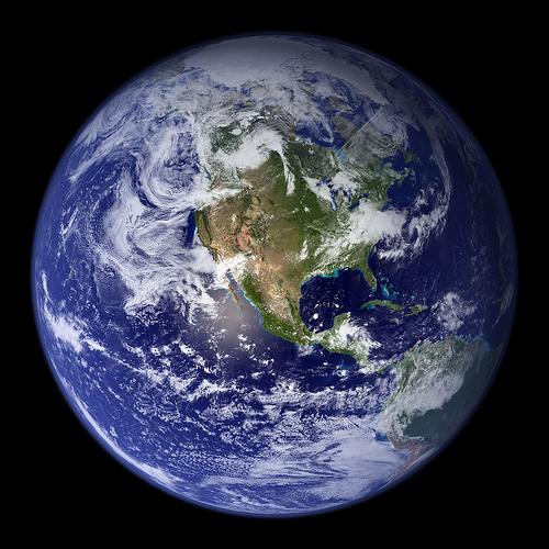
I think maybe the most amazing part of this atlas though is the ‘Images of Earth’ which are exactly what they say. Considering the sheer size of this atlas, these images of each of the individual contents are massive, high quality, high resolution and piercing detail and colour. Though static, unlike what you’ll see on Google Earth, they really do compare considering their size and their quality.
The Bad
I have another atlas wandering around my library that has provided me with hours of entertainment. In it is exactly what you’d expect from an atlas, but in addition is representation of the seafloor, which The Times Atlas does not provide. Sea floor heights are all well and good, but there is something about seeing the fault lines and stretch marks that really intrigued me when I was younger, and even still today.
One word: Greenland.
In The End
What can you say about a very expensive atlas? If you want one, then this is very hard to go past. The money you pay will reward you time and time again with the intricacy and detail of the images inside, showing you everything you could conceivably want to see (minus the sea floor, as mentioned).
So if you’ve got the spare change lying around in a safe somewhere, then go for it. I guarantee you, you won’t be sorry.


![lrg_the+times+comprehensive+atlas+of+the+world+[new+twelfth+edition]+spread+2.1919b491](http://planetsave.wpengine.com/wp-content/uploads/2011/10/lrg_the+times+comprehensive+atlas+of+the+world+new+twelfth+edition+spread+2.1919b491.jpg)

