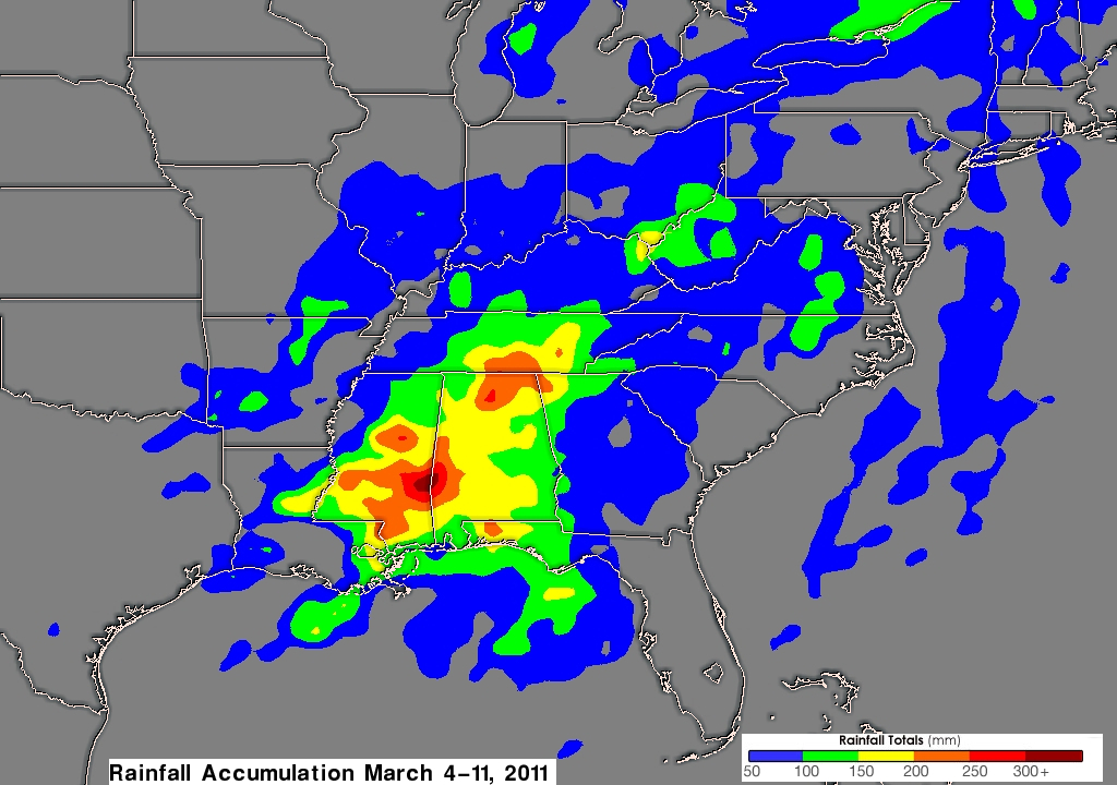
As shown in last weeks Aqua satellite image a massive storm stretched over almost two-thirds of the United States. Flooding was reported from Louisiana to northern New York, and you can see why in this rain map provided by NASA’s Goddard Space Flight Center.
NASA Satellite Catches East Coast Storm Rainfall

