China’s Qinghai Province was captured by the Advanced Land Imager (ALI) on NASA’s Earth Observing-1 (EO-1) satellite in this image on December 12, 2010.
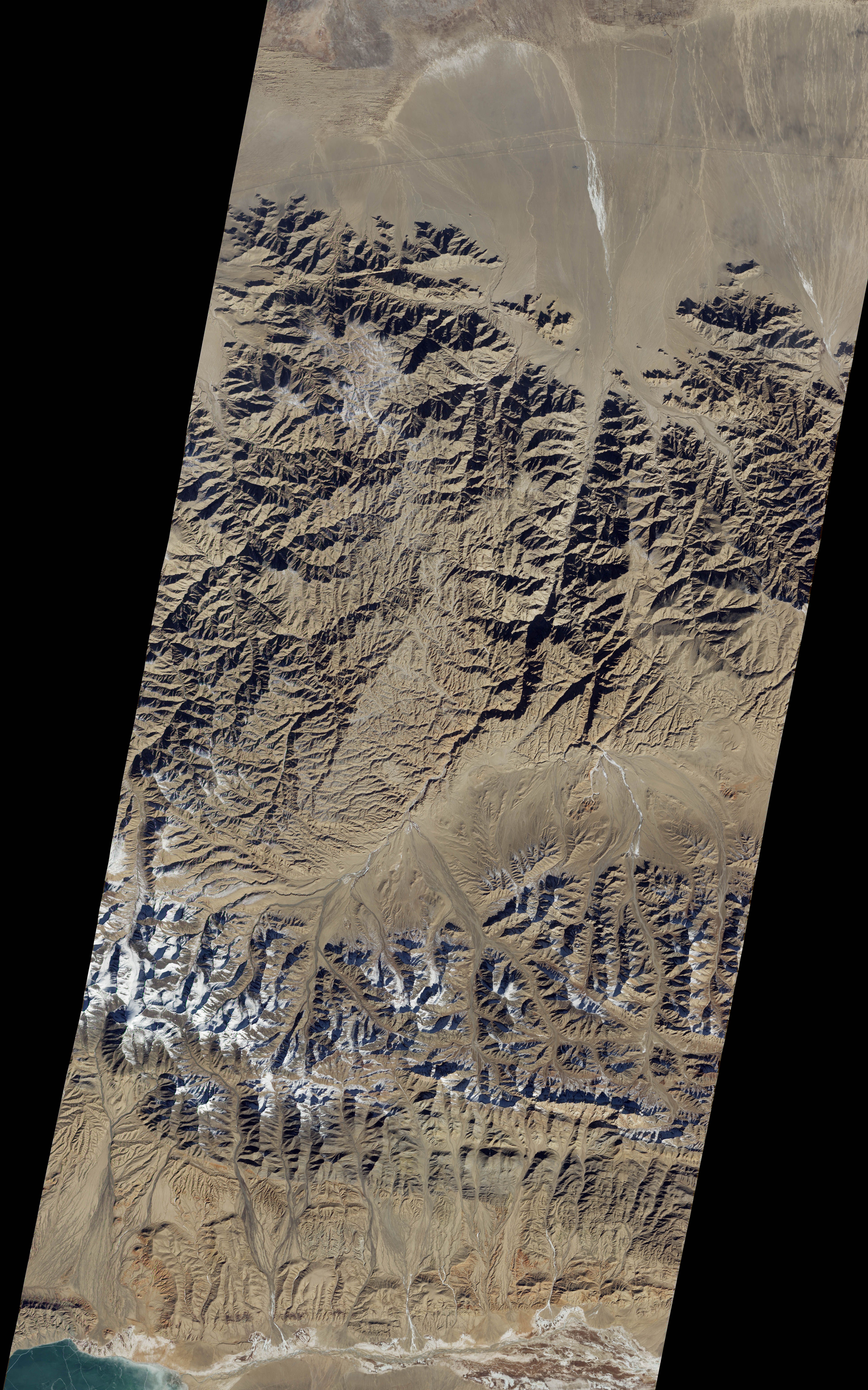
The left of the image shows the northern flat lands, which then move into a tapestry of mountains and valleys, some of which – further south, as the image has been rotated so that north is to the left – still have a smattering of snow on them.
Source: NASA Earth Observatory
